Infared satellite close-up into the well-defined eye of Tropical Cyclone Giri impacting Burma today. Source: Colorado State University.
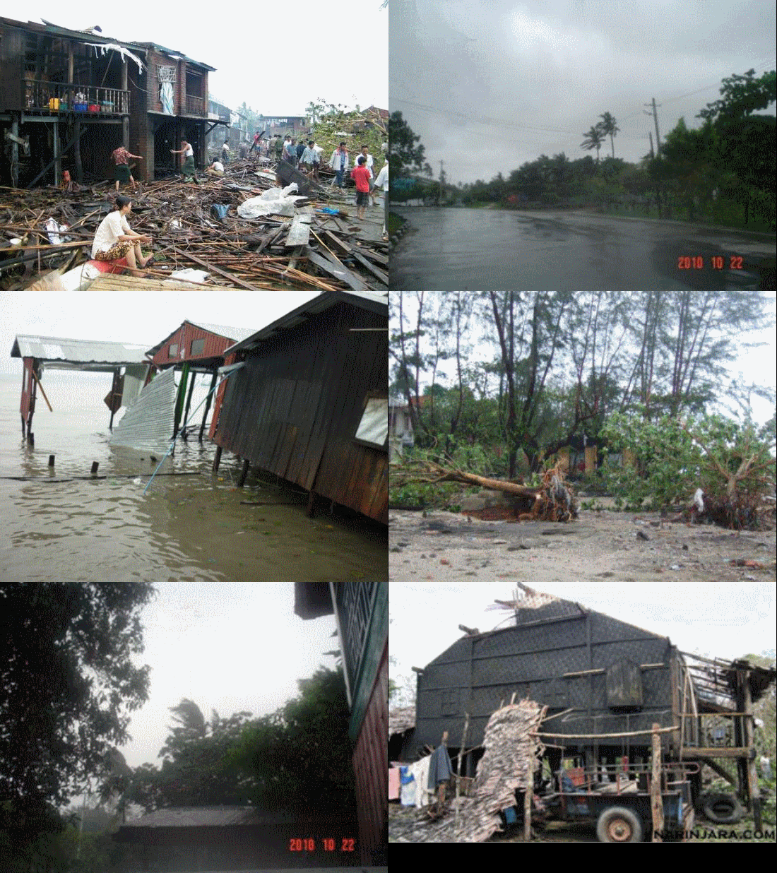
A dangerous tropical cyclone over the northern Indian ocean, Giri, rapidly strengthened overnight before making landfall in Burma, also known as Myanmar, today (Friday). The storm comes two and a half years after Tropical Cyclone Nargis devastated that country, claiming more than 100,000 lives.
The Navy's Joint Typhoon Warning Center wrote this morning (Friday) that Giri's maximum sustained winds intensified by over 58 mph (50 knots) in 12 hours "indicative of explosive intensification."
As of 7 a.m. this morning - just hours prior to landfall - maximum sustained winds were 140 to 155 mph (125-135 knots) with gusts to 190 mph (165 knots) - equivalent to a high end Category 4 hurricane. The storm was merely at category 1 strength yesterday.
Nargis, probably the worst natural disaster in Burma's history, had weaker sustained winds of 130-135 mph at landfall. However, most of the casualties from Nargis arose from the storm surge which pushed a 13 foot wall of water across the Irrawaddy Delta region, drowning thousands.
As Giri is making landfall further north than Nargis, away from the vulnerable, low lying Irrawaddy Delta, the toll may not be as high.
AccuWeather reported: "The site of landfall was about 40 miles southeast of Sittwe (Akyab), or 250 miles northwest of Yangon, the Myanmar [Burma] capital. It includes many coastal islands, some of them low-lying with many tidal channels, but also some high ground."
Peter Webster, an atmospheric scientist at Georgia Tech and an expert on weather impacts in the region of the Bay of Bengal (India, Bangladesh, and Burma), told the Capital Weather Gang:
[The area impacted by] Giri has much more elevation than the Irrawaddy basin that extends inland for 10s of km at sea level. So the consequences of Giri will be different to those of Nargis. Instead of storm surges the main impacts will be from wind damage and rainfall flooding.

Infrared satellite image and projected path of Tropical Cyclone Giri, making landfall in Myanmar. Source: University of Wisconsin's Cooperative Institute for Meteorological Satellite Studies
On the other hand, unlike Nargis - where the storm's likely path and intensity was known to officials 36 hours in advance (even if this information was not acted upon), Giri strengthened more than predicted prior to landfall, increasing the possibility of a lack of preparedness.
Webster is particularly concerned about the rainfall potential from Giri.
"With onshore winds to the south of the storm center rainfall may be expected to be torrential in the higher elevations and local flooding can be expected," he said.
He likened Giri to Hurricane Mitch in 1998 which dropped enormous amounts of rainfall on central American countries, killing thousands.
While the publication Mizzima reports preparations were underway in Burma prior to the storm and that the state-run media had issued a "red alert" for the cyclone, it is an open question whether these preparations will have been adequate to avoid another disaster.
"I think that no matter where a tropical cyclone hits in the Bay of Bengal region, there will be devastation of one form or another," said Webster. "Simply, the population around the Bay is the densest on the planet."
http://voices.washingtonpost.com/capitalweathergang/2010/10/cyclone_explodes_before_sockin.html


0 Responses to Cyclone Giri explodes, socks Burma shore Will Giri be a repeat of catastrophic Nargis?